Software
GIS Software
Geography is the Science of our world, providing content & context and a common Reference system. Integrating open science, AI, and Machine Learning is revolutionizing Spatial Analysis and Data Science
Geography is the study of Earth's peoples, places, societies, and environments. It is unique because it connects the Earth Sciences (Physical Geography) and Social Sciences (Human Geography). Geoinformatics has various users across different disciplines who are increasingly adopting it as a problem-solving and decision support tool.
Geography is a unique discipline that integrates subjects from the Social Sciences, Sciences, and Technology, revealing the hidden relationships within society in space. Originally, geographic knowledge was built around the physical aspects of Geography, and over time, geographical studies expanded to include human relations. As years passed, innovations in various fields of knowledge significantly impacted the subject, prompting it to adapt to new challenges. At the end of the 20th century, advancements in information technology had a crucial role in making the field socially relevant. In fact, the subject is currently redefining itself to address the challenges of globalization.
Why GIS? Why Now?
Today, the field is reshaping itself through the integration of new technologies like GIS, GPS, and RS. Over time, it could become the most important branch of spatial science. Technologies such as Geographical Information Systems (GIS), Global Positioning Systems (GPS), and Remote Sensing (RS) have profoundly changed the boundaries of the discipline
This GIS Technology
- Measurement
- Visualization & Mapping
- Analysis & Modelling
- Planning & Design and
- Decision Making
Why GIS? Why Now?
GIS for Government
Geospatial technologies are enabling governments to tackle pressing challenges—such as climate change, urbanization, water scarcity, and disaster resilience. With tools like high-resolution satellite imagery, AI, and real-time data analytics, policymakers can now track progress toward Sustainable Development Goals (SDGs), manage resources efficiently, and improve citizen engagement.
GIS for Academia
Educational institutions are harnessing the power of GIS to equip the next generation of leaders and researchers with spatial thinking capabilities. From environmental studies to urban planning, GIS enhances curriculum, fuels innovation, and facilitates interdisciplinary learning.
GIS for Business
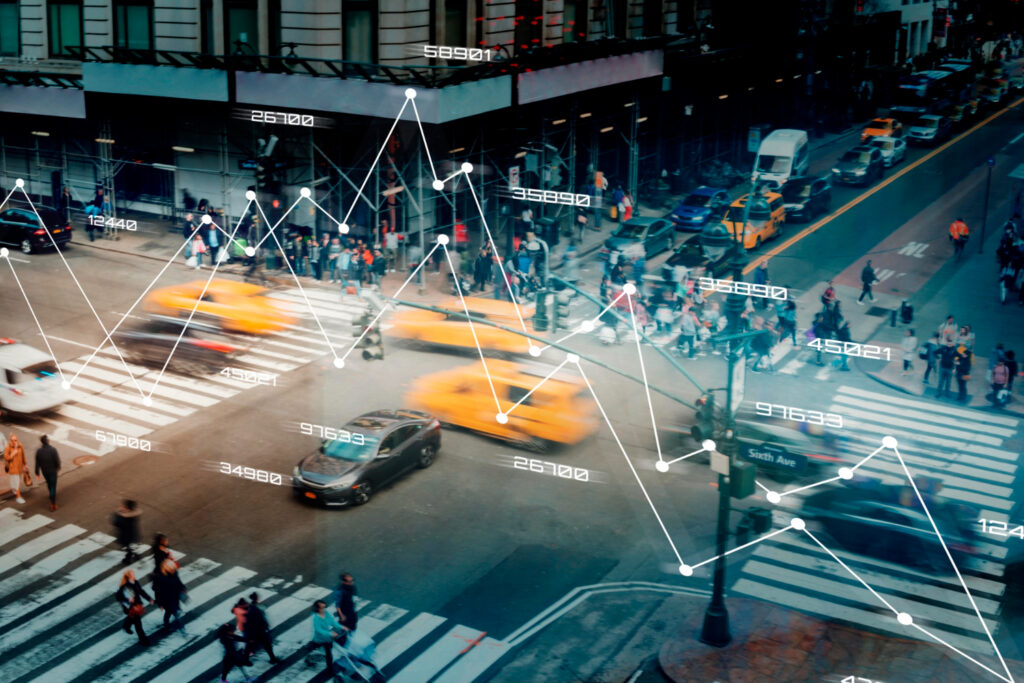
Across industries, businesses are integrating GIS into their core operations to gain a competitive edge. It streamlines workflows, boosts productivity, and uncovers actionable insights through spatial analytics. With GIS, companies are building smarter supply chains, improving customer targeting, and designing future-ready infrastructure.
What’s New in GIS?
ArcGIS 10.8 – Powerful, Innovative, and Reliable
The latest version of ArcGIS brings cutting-edge features across mapping, 3D analytics, utility network management, image processing, and spatial analysis. With platforms like ArcGIS Hub and ArcGIS Monitor, organizations can seamlessly manage data and engage stakeholders through interactive web apps.
ArcGIS Online – Location Intelligence in the Cloud
ArcGIS Online is a cloud-based mapping and analysis platform that allows users to create data-driven maps, perform spatial analysis, and share results across any device. It’s the ideal solution for collaborative projects, real-time monitoring, and digital transformation.
Geospatial Technology in Action
Smart Cities
GIS is central to building inclusive, sustainable, and resilient urban environments. From traffic management and energy efficiency to public safety and citizen services, it brings all smart systems under one unified digital framework.
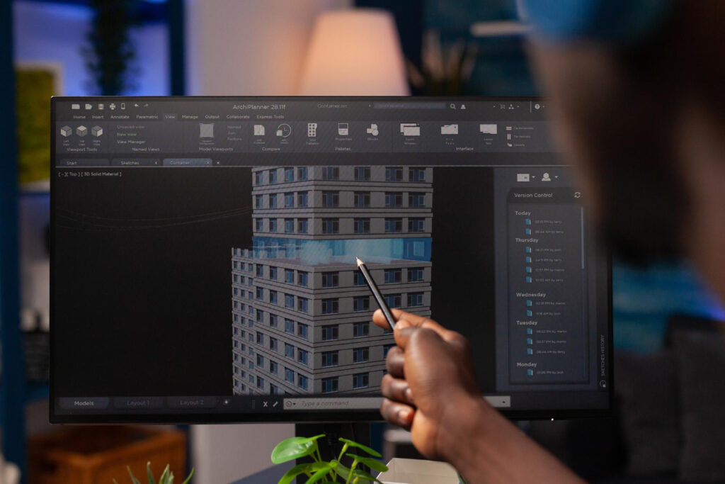
3D Modeling & Infrastructure
Real-time 3D modeling is revolutionizing construction and urban design, creating efficient and eco-friendly spaces.
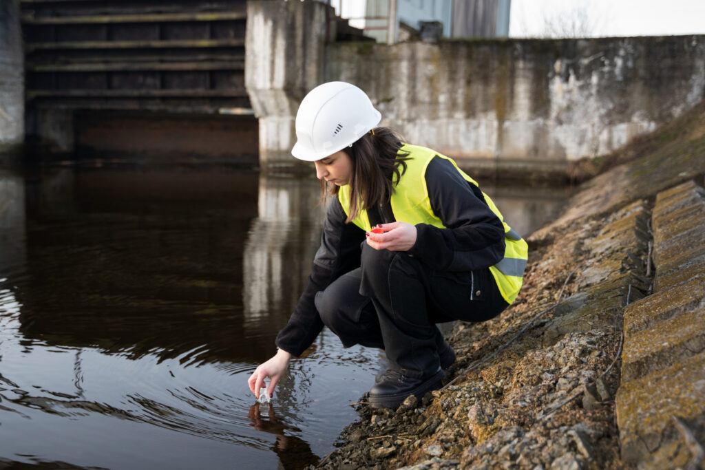
Water Resource Management
With rising water demand and aging infrastructure, geospatial intelligence is critical for efficient monitoring, conservation, and smart water governance.

Global Journalism & Communication
Satellite imagery and spatial storytelling are now powerful tools in investigative journalism and global advocacy.
Explore Our GIS Solutions
- Advanced GIS Software Implementation
- Custom Web & Mobile GIS Applications
- Remote Sensing & Image Analysis
- Advanced GIS Software Implementation
- 3D Spatial Modeling & Simulation
- Urban and Rural Planning Tools
- Smart Water & Utility Mapping
- SDG Monitoring Dashboards
Let’s Build the Future with GIS
Join us in shaping a smarter, more sustainable world. Whether you’re in government, education, business, or non-profit, our geospatial solutions are designed to help you make better decisions—powered by place, precision, and purpose.